
Define the question
We record what is known, what is uncertain and what outcome would make the project useful.
Oklahoma historical property research
Discover what happened on the land before you.
Ring & Relic Recovery helps Oklahoma landowners investigate old homesteads, vanished communities, former roads, schools, stores, camps, gathering places, family stories and other evidence hidden in the landscape. That may include a story about Grandma burying money for safekeeping, valuables hidden around an old home or a local legend involving outlaw loot. Research may combine deeds, newspapers, historic maps, aerial photographs, GIS and LiDAR with permission-first fieldwork by an experienced detectorist when the evidence supports a search.
Oklahoma is our primary area. Regional and nationwide historical projects are considered individually.
Focused field investigation
Many landowners know that an old house, school, store, road, camp or gathering place once stood somewhere on their property—but not exactly where. Others have a family story, an unusual landscape feature or a collection of clues that has never been tested against the historical record.
Ring & Relic Recovery combines records, maps and landscape evidence with careful, permission-first metal detecting when fieldwork is justified. The goal is not random treasure hunting. It is to identify the most likely search areas, examine them methodically and document what the evidence supports.
Not every promising clue leads to a recoverable object, and no historical result is guaranteed. Stories about buried money and outlaw loot are treated as leads to investigate—not proof that treasure exists. Each project is evaluated for evidence, access, safety, ownership and preservation concerns before fieldwork begins.
Research questions
A project may begin with a family story, an old photograph, an unusual feature on the land, a vanished community, a former gathering place or a question that has never been tested against the records.
Evidence-led process
We record what is known, what is uncertain and what outcome would make the project useful.
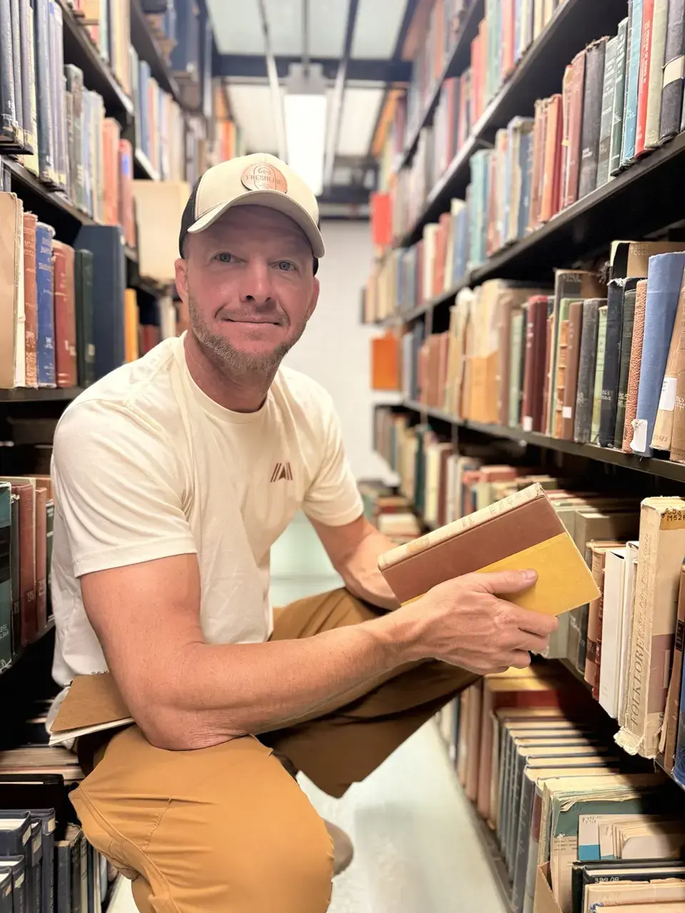
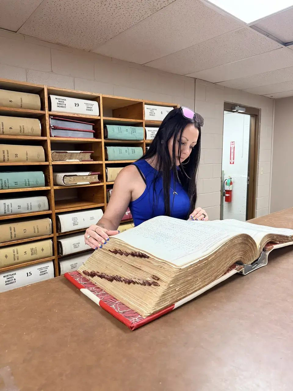
Maps, aerials, land records, newspapers, books, photographs, oral histories and other sources are compared.
GIS can combine historic maps, LiDAR, aerial imagery, GPS observations and modern property context.
Search areas, access, ownership, hazards and preservation concerns are resolved before equipment is used.
Field observations, photographs, coordinates and recovered context are logged when appropriate.
Findings and uncertainties remain traceable in an organized project casebook.
Learn how to find an old homestead or forgotten site on Oklahoma property →
GIS, casebooks & provenance
Responsible recovery is more than locating an object. We preserve the relationship between the source, the place, the search and the finding. Depending on the project, documentation may include source citations, historic-map overlays, GPS coordinates, search boundaries, photographs, permissions, field notes and disposition of recovered items.
Exact locations may be withheld publicly to protect landowners, permissions and sensitive sites.
See a documented wagon-route and forgotten-homestead investigation →
Start a research project
A map, photograph or family story is often enough to begin.
Oklahoma primary · Travel considered by project.Documented Oklahoma findings
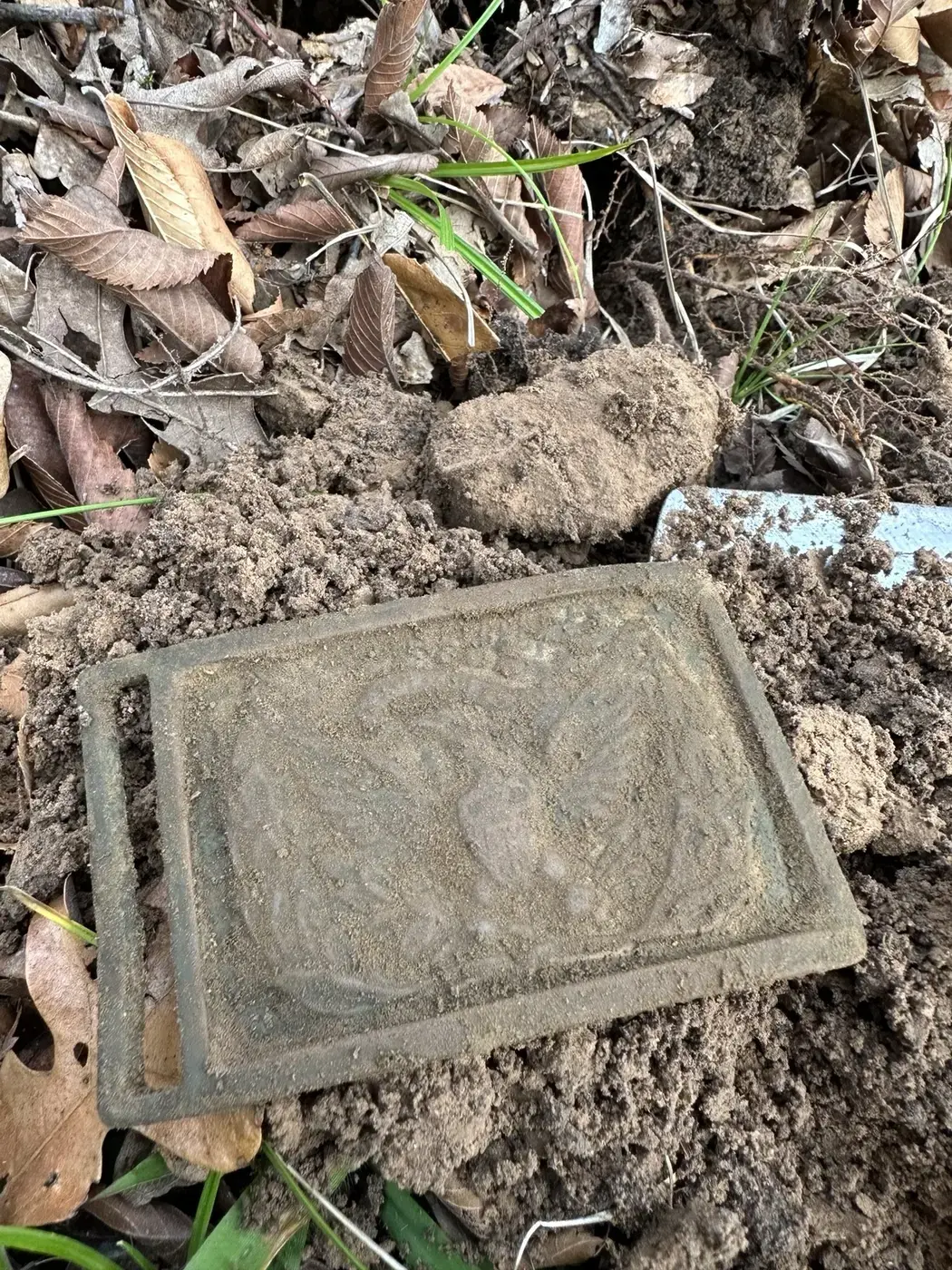
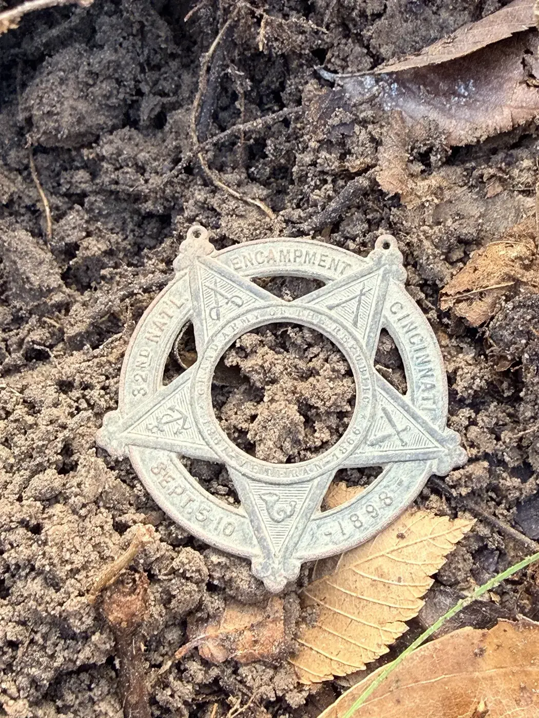
Public locations are limited to county level.
Recovery ethics
We do not disturb graves or possible ancient sites. If evidence suggests a potentially archaeological or culturally sensitive site, field disturbance stops and the project requires appropriate professional guidance and permissions.
Project-by-project scope
Historical research and fieldwork are evaluated individually. A project may be offered at no cost when the research, access or historical opportunity itself makes the work worthwhile. Larger research, travel or specialized field projects are scoped and discussed before work begins.
Historical research questions
Yes. Ring & Relic Recovery considers permission-first metal-detecting projects on privately owned property. For a historical search, we normally begin with the story, location and available evidence so fieldwork can focus on the most likely areas instead of searching the property at random. The property owner’s permission is required before any search begins.
Sometimes. Historic maps, deeds, aerial photographs, LiDAR, landscape features and artifact patterns can help narrow the likely location of a former home or structure. Some sites retain clear evidence while others have been altered by construction, agriculture, erosion or time. We provide an evidence-based assessment and do not guarantee that a structure or artifact will be found.
We may be able to reconstruct portions of the property’s history by comparing deeds, land records, plat maps, newspapers, census records, directories, photographs, oral histories and aerial imagery. The available evidence varies by county, period and property, but even incomplete sources can sometimes reveal an old residence, road, business, school, gathering place or other former use.
Yes, when the project is historical. Records and maps help define what is plausible, where activity likely occurred and which areas deserve field verification. Metal detecting is one tool within a larger research process that may also include GIS mapping, LiDAR, aerial comparison, surface observation, photography and documented field notes.
Yes. Stories about money hidden during hard times, valuables buried near an old home, family caches and outlaw loot can be evaluated like other historical leads. We begin by separating what is documented from what has been repeated, then compare the story with ownership records, newspapers, maps, dates, known locations and the physical landscape. Some stories become stronger; others do not survive the evidence. Any field search requires the current property owner’s permission, and no cache or recovery is guaranteed. Projects involving a potential cache, buried money or valuables are scoped and priced individually before the search.
No universal arrangement applies. Ownership, disposition, documentation and any sharing or donation plan should be discussed with the landowner before fieldwork.
Public descriptions may be limited to county level, and precise coordinates or identifying details can remain within the project record.
We do not disturb it. Work stops and any next step requires appropriate archaeological guidance, legal permission and responsible stewardship.
When recovery requires digging, small precise plugs are restored neatly. Recovered trash and debris are removed so the area is left better than we found it.
Have a place or story in mind?
A location, old photograph, family story, unusual landscape feature or former owner’s name may be enough to begin.