
Eastern Oklahoma · Historical investigation
Historic wagon route and forgotten homesteads rediscovered in eastern Oklahoma
Archival research led to a physical survey that confirmed an old travel route, forgotten homestead sites and period artifacts on private land.
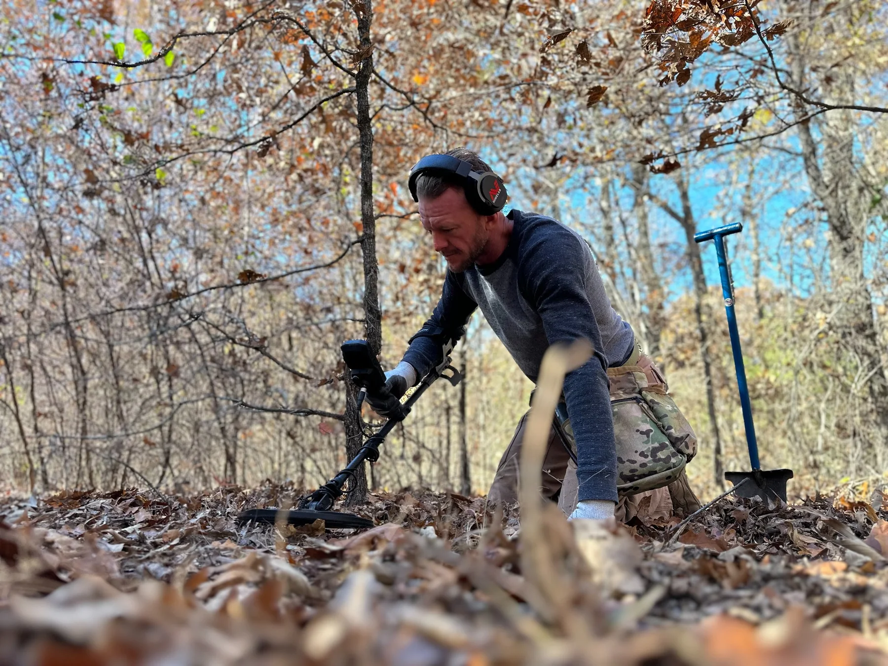
A suspected wagon route starts with research
A property owner in eastern Oklahoma contacted us after discovering what appeared to be an old wagon route crossing his land. He wanted to know whether the route could be documented and whether the property might justify a physical survey.
Before putting a detector on the ground, we searched historical records, non-digitized vertical files and local microfilm. The documentary evidence became strong enough to support a field investigation.
The landscape confirmed the records
Fieldwork confirmed the suspected wagon route and also revealed multiple former homestead locations, including sites the property owner had not known existed. In places, little or no surface evidence of prior habitation remained.
Artifacts helped establish the timeline
Finds along the route and habitation areas included rings, .45-caliber cartridge casings, buckles, coins and other period objects. Together with the archival evidence, these finds helped support the date and use of the route.
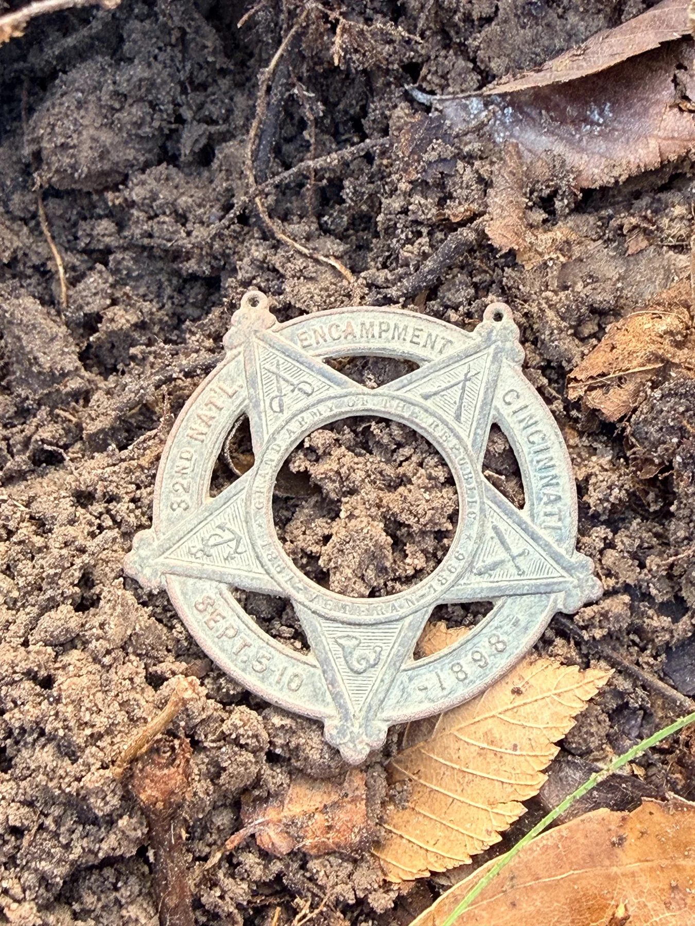

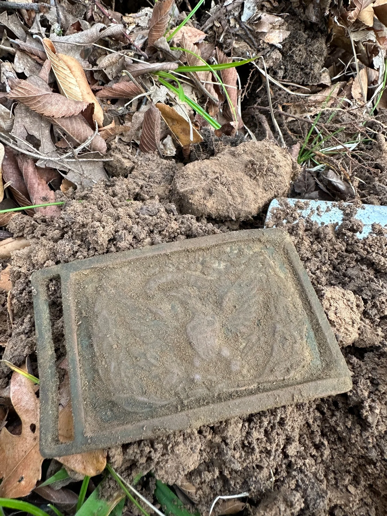
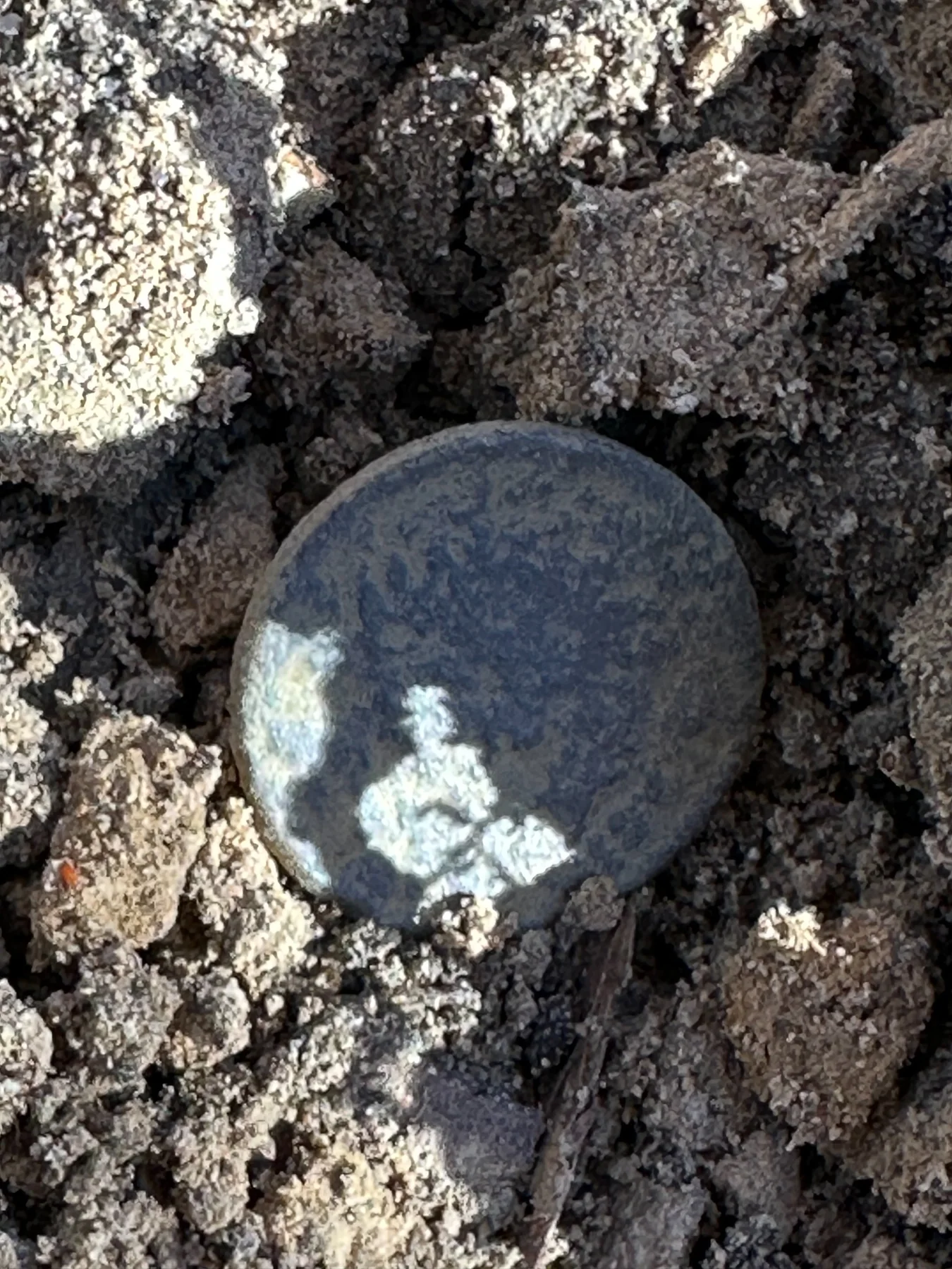
Historical research & field verification
More than metal detecting.
The purpose of projects like this is to combine archival sources, maps, landscape interpretation and systematic fieldwork to understand how a property was used. Sometimes the result is a forgotten road. Sometimes it is a vanished homestead. Sometimes both survive only as clues beneath the surface.
Learn how Ring & Relic Recovery combines records, maps, GIS, LiDAR and permission-first metal detecting through our Oklahoma historical property research and field-survey service.
All recovered items from this project were left with the property owner’s family. Not every recovered item is shown here.
This project was conducted on private property in eastern Oklahoma. The specific location is intentionally kept confidential.